 www.geodatenkatalog.de (S1F)
Keyword
Level 3A
2 record(s)
Provided by
Type of resources
Available actions
Topics
Keywords
Contact for the resource
Update frequencies
-
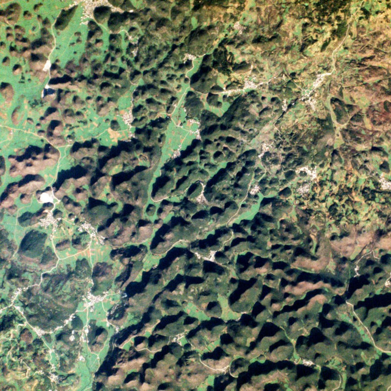
The PlanetScope satellite constellation, called ‘Flock’, consists of multiple launches of groups of individual Dove satellites into a 400 km orbit. Some of them were launched from the ISS. Therefore, on-orbit capacity is constantly improving in capability or quantity. Each Dove satellite is a CubeSat with a size of 10 x 10 x 34 cm. The complete PlanetScope constellation of approximately 130 satellites is able to image the entire land surface of the Earth every day, equating to a daily collection capacity of 200 million km². In 2014 the first Dove satellites started operationally acquiring images from the earth’s surface. The optical sensors mounted on the individual Dove satellites operate in the visual and near-infrared parts of the electromagnetic spectrum with a spatial resolution between 3 and 5 meters. A third generation of PlanetScope sensors (known as SuperDove or PSB.SD) is currently in orbit and is producing limited quantities of imagery with 5 spectral bands (BGRNIR + Red Edge). These satellites have the potential to produce imagery with 8 separate spectral bands. The RapidEye Science Archive (RESA), which allows Germany-based researchers to apply for free PlanetScope imagery, is operated by the German Satellite Data Archive (D-SDA) of DLR’s Earth Observation Center and can be accessed via the EOWEB Geoportal. New PlanetScope data as well as archive data which is not yet part of the RESA collections can be applied for at Planet Labs Germany GmbH under the RESA contract. For more information see: https://www.planet.com/resa/ This collection comprises the PlanetScope L3A OrthoTile products which are orthorectified as individual 25 km by 25 km tiles referenced to a fixed, standard image tile grid system. The OrthoTile products are radiometrically-, sensor-, and geometrically-corrected and aligned to a cartographic map projection. The Surface Reflectance layer which corrects for the effects of the Earth's atmosphere is included in the product.
-
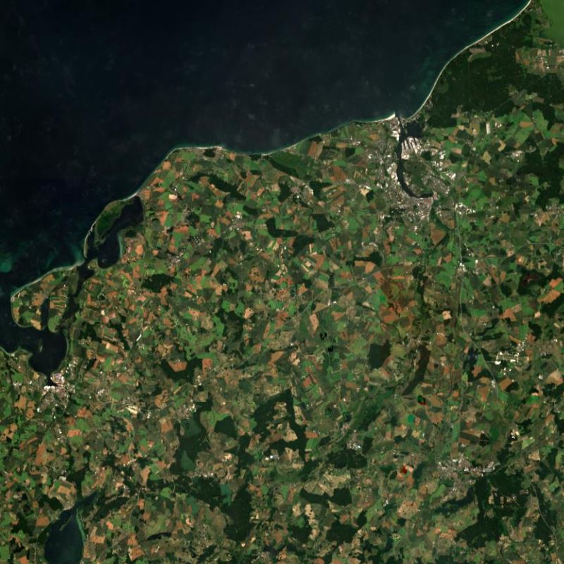
This collection contains synthesized Sentinel-2 Level 3A surface reflectances for Germany on a monthly basis computed by the WASP processor (which utilizes L2A products derived from the MAJA processor). During the Level 3A processing, atmospherically corrected data from a predefined time interval are collected, weighted based on temporal distance and integrated to a new data set with the aim of removing clouds. Thereby, monthly Sentinel-2 Level 3A composites are provided for whole Germany. Please see https://logiciels.cnes.fr/en/content/maja for additional information on the MAJA product. Further Sentinel-2 Level 3A data computed using MAJA are available on the following website: https://theia.cnes.fr